| About Azad Jammu Kashmir |
|
|
| |
| Azad Jammu and Kashmir (Azaad Jammu o- Kashmir, literally Free Jammu and Kashmir ; AJK) or Azad Kashmir (literally Free Kashmir) for short, is the southernmost political entity within the Pakistani-administered part of the former princely state of Kashmir and Jammu. It borders the present-day Indian-controlled state of Jammu and Kashmir to the east (separated from it by the Line of Control), Khyber-Pakhtunkhwa to the west, Gilgit–Baltistan to the north, and thePunjab province to the south. With its capital at Muzaffarabad, Azad Kashmir covers an area of 13,297 square kilometres (5,134 sq mi) and has an estimated population of about four million. Brad Adams the Asia director at Human Rights Watch has said in 2006
Although ‘azad’ means ‘free,’ the residents of Azad Kashmir are anything but, The Pakistani authorities govern Azad Kashmir with strict controls on basic freedoms.[2]
Azad Kashmir and Gilgit–Baltistan together constitute the disputed[3] region, referred to as Pakistan-administered Kashmir by the United Nations[4][5] and other international organisations, and as Pakistan-occupied Kashmir in India[6] in contrast to the nameIndian-occupied Kashmir which is given to the Indian administered Jammu and Kashmir by Pakistan. The territories have been under control of the two countries since the first Kashmir war after which Azad Kashmir was successfully captured from the princely state by the rebelling militias with the help of Pakistan army.
|
.jpg) |
|
| |
History
At the time of the Partition of India in 1947, the British abandoned their suzerainty over the princely states, which were left with the options of joining India or Pakistan or remaining independent. Hari Singh, the maharaja of Jammu and Kashmir, wanted his state to remain independent. In order to buy some time, he signed a stand-still agreement, which sidestepped the encouragement of the princely states to join either India or Pakistan.[7] Later there was a revolution by Muslims in the western part of the kingdom,[8] as raiders from the North-West Frontier Province and the Tribal Areas feared that Hari Singh might accede to the Union of India. In October 1947 they attacked Kashmir, in an attempt to take control of the princely state. Initially Hari Singh tried to resist their progress but failed. He then requested the military help of India, which responded that it would not help him unless he acceded to India. On 26 October 1947, Hari Singh signed an Instrument of Accession,[9] and Indian troops were immediately airlifted into Srinagar. Pakistan intervened subsequently.[8] Fighting ensued between the Indian and Pakistani Armies, with two areas of control stabilizing more or less around what is now the "Line of Control".[10]
Later, India approached the United Nations, asking it to solve the dispute, and resolutions were passed in favour of the holding of a plebiscite with regard to Kashmir's future. However, no such plebiscite has ever been held on either side, since there was a precondition which required the withdrawal of the Indian and Pakistani armies from the parts of Kashmir under their respective control — a withdrawal that never took place.[11] In 1949, a cease-fire line separating the Indian- and Pakistani-controlled parts of Kashmir was formally put into effect.
Following the 1949 cease-fire agreement, the government of Pakistan divided the northern and western parts of Kashmir which it held into the following two separately-controlled political entities:
1. Azad Jammu and Kashmir (AJK) - the narrow southern part, 250 miles (400 km) long, with a width varying from 10 to 40 miles (16 to 64 km).
2. Gilgit–Baltistan formerly called Federally Administered Northern Areas (FANA) - is the much larger area to the north of AJK, 72,496 square kilometres (27,991 sq mi); it was directly administered by Pakistan as a de facto dependent territory, i.e. a non-self-governing territory. However it was officially granted full autonomy on August 29, 2009.[12]
An area of Kashmir that was once under Pakistani control is the Shaksgam tract—a small region along the northeastern border of the Northern Areas that was provisionally ceded by Pakistan to the People's Republic of China in 1963 and which now forms part of China's Uygur Autonomous Region of Xinjiang.
In 1972, the then-current border between Pakistan and India, which contained areas of Kashmir, was designated as the "Line of Control". The Line of Control has remained unchanged[13] since the 1972 Simla Agreement, which bound the two countries "to settle their differences by peaceful means through bilateral negotiations". Some political experts claim that, in view of that pact, the only solution to the issue is mutual negotiation between the two countries without involving a third party, such as the United Nations.
A devastating earthquake hit Azad Kashmir in 2005. |
 |
|
| |
Geography and climate
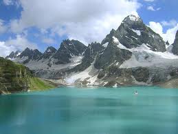
The northern part of Azad Jammu and Kashmir encompasses the lower area of the Himalayas, including Jamgarh Peak (15,531 feet [4,734 meters]). However, Hari Parbat peak in Neelum Valley is the highest peak in the state. Fertile, green, mountainous valleys are characteristic of Azad Kashmir's geography, making it one of the most beautiful regions of the subcontinent.[1] The region receives rainfall in both the winter and the summer. Muzaffarabad and Pattan are among the wettest areas of Pakistan. Throughout most of the region, the average rainfall exceeds 1400 mm, with the highest average rainfall occurring near Muzaffarabad (around 1800 mm). During the summer season, monsoon floods of the rivers Jhelum and Leepa are common due to extreme rains and snow melting. |
 |
|
| |
|
| |
|
|
|
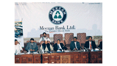
| Sponsors & Supporters |
|
|
|
|
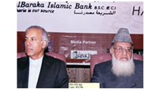
| Media Partners |
|
|
|
|
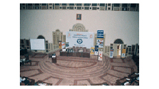
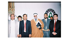
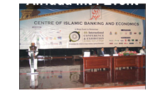
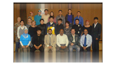
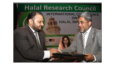
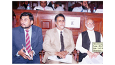
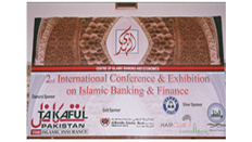
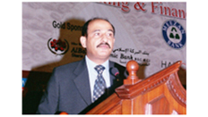
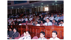
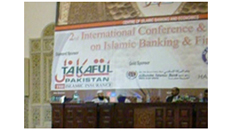
| 1st & 2nd Int’l Conferences |
|
|
|
|
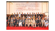
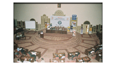
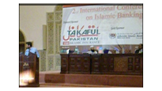
| 3rd & 4rth Int’l Conferences |
|
|
|
|